Our Services


Our Partners
Why you should employ Kemp and Seeka Chartered Surveyors:
Experience - Established 1988
Multi Disciplined In House Geomatic Services
Project lifecycle support
Customer Care & After Service
Construction Line Gold Accredited
Latest Technology & Techniques
Tailored Personal Service
-
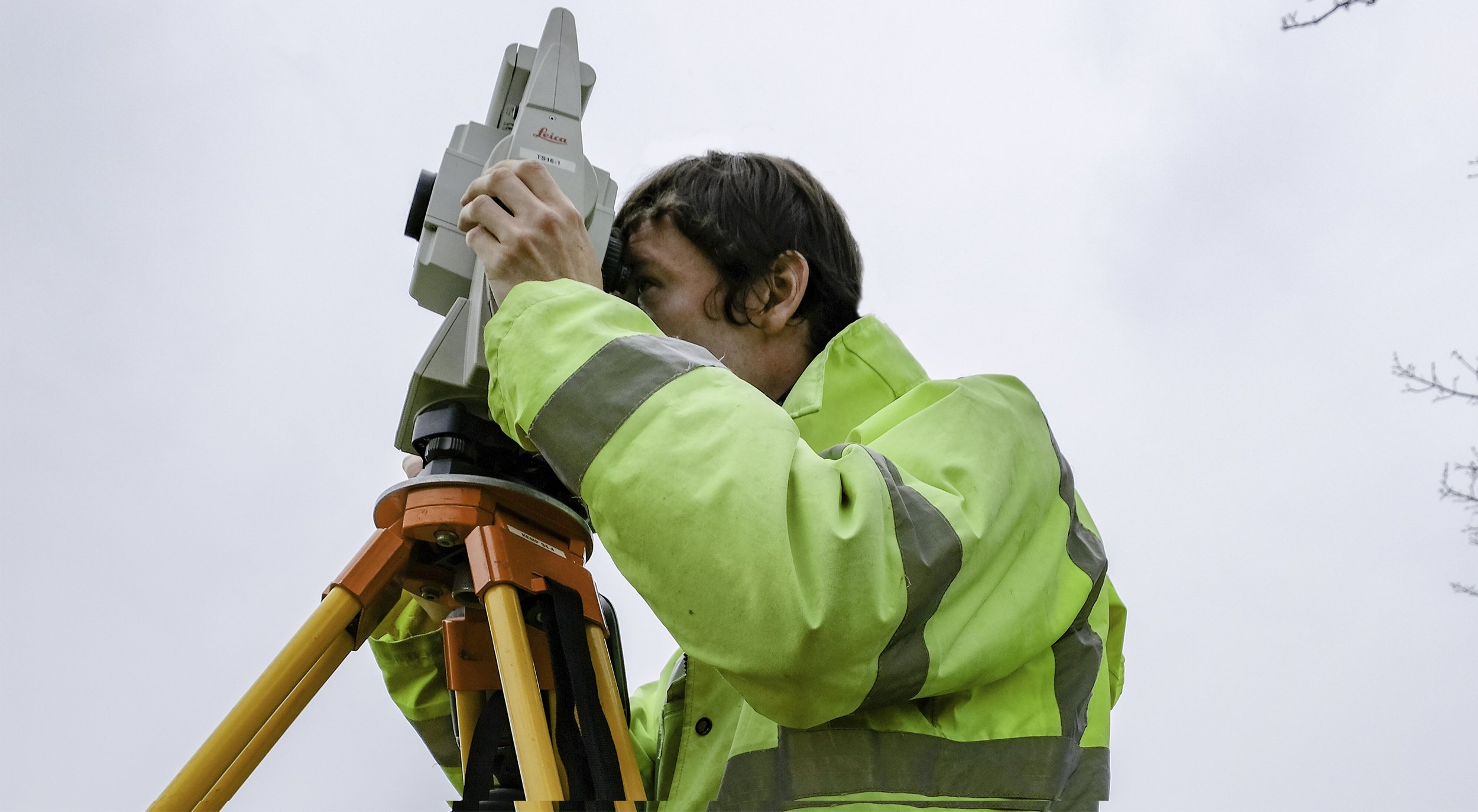
A chartered land surveyor conducts precise land surveys, mapping natural and man-made features. They provide essential data for construction and development projects, ensuring accuracy and compliance with regulations. Their expertise aids in planning, legal boundary disputes, and delivering reliable maps and 3D models.
-
A land survey is a detailed and accurate representation of a piece of land, capturing both natural and man-made features. It maps the contours, elevations, and physical features of the terrain, such as trees, buildings, roads, and utilities, providing essential information for construction, development, or land use planning.
-
A land survey provides detailed information about the area, including elevation changes, landforms, vegetation, and existing structures. It helps to understand the terrain, drainage patterns, and boundaries, essential for land development, construction projects, and new infrastructure.
-
A utility survey is a detailed investigation that identifies the location and type of underground utilities, such as water pipes, gas lines, electrical cables, and telecommunications networks. It helps in mapping and recording the position of these services to avoid damage during construction or excavation work, as well as helping the designer to accommodate existing services in their plans.
-
Utility surveys are crucial to prevent accidents, costly damage, and project delays. By identifying the precise locations of underground utilities, construction teams can avoid hitting them, which could cause injuries, service interruptions, or expensive repairs. It also ensures compliance with health and safety regulations.
-
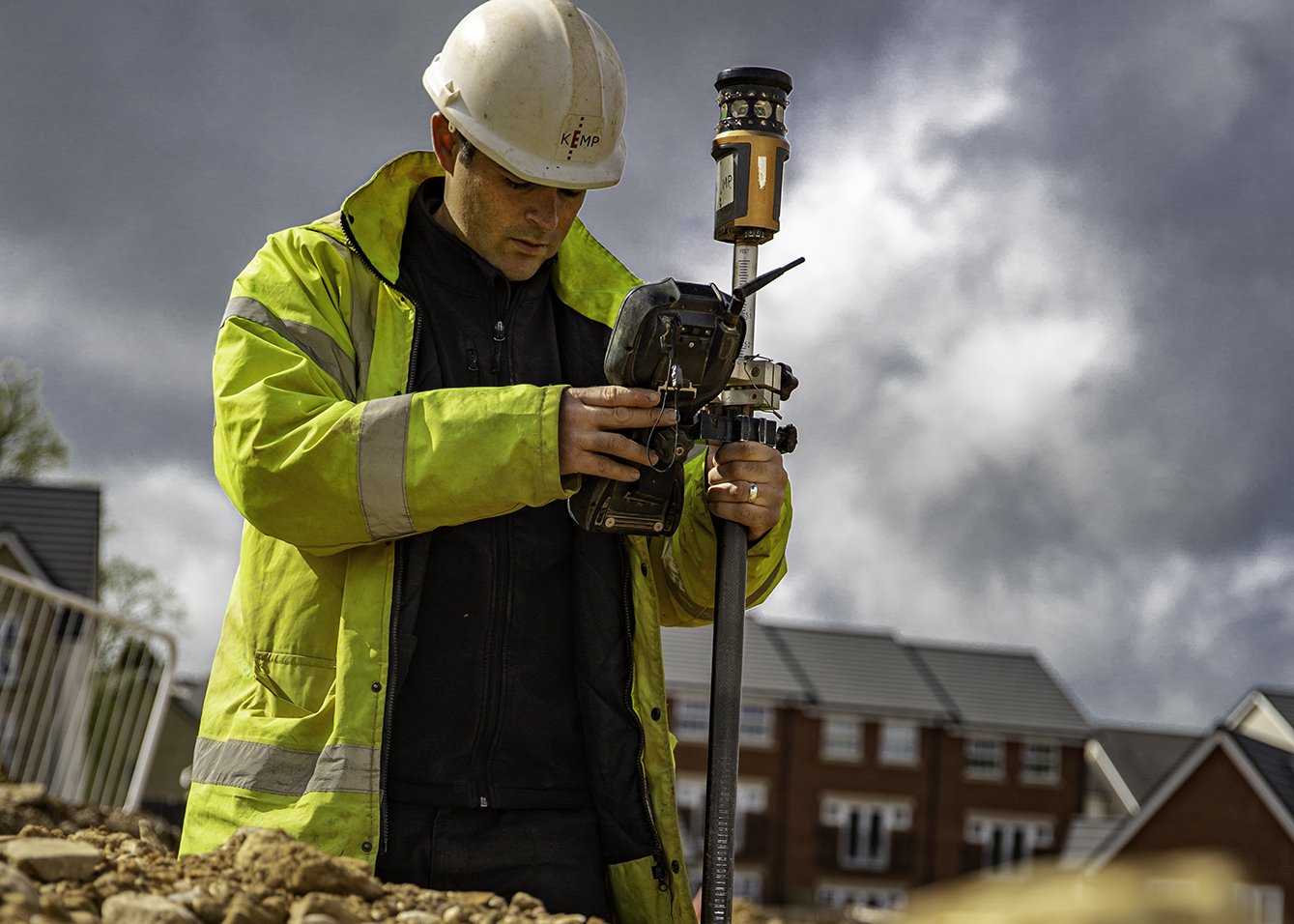
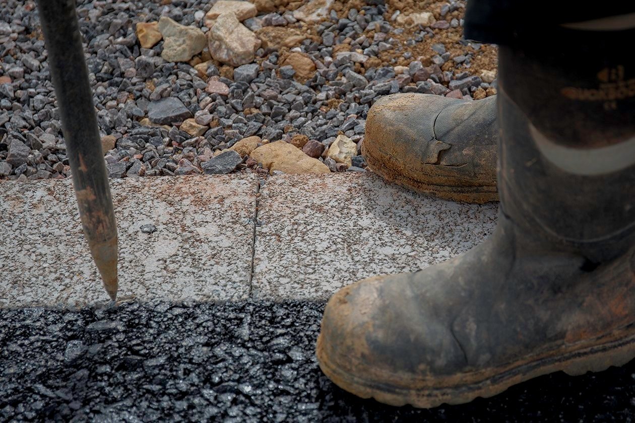
Setting out is the process of transferring a building design or construction plan from paper or a digital model onto the actual site. It involves marking the precise locations of key points such as building corners, walls, roads, and other structures on-site to ensure the project is built according to the plans.
-
Setting out is essential to ensure that the construction work aligns with the architect's or engineer's design. It prevents costly errors and delays by accurately placing foundations, drains, and other critical points. It also ensures the project complies with local regulations and site boundaries.
The Philosopher John Ruskin once said “It is unwise to pay too much, but it's worse to pay too little. When you pay too much, you lose a little money - that is all. When you pay too little, you sometimes lose everything, because the thing you bought was incapable of doing the thing it was bought to do. The common law of business balance prohibits paying a little and getting a lot - it can't be done. If you deal with the lowest bidder, it is well to add something for the risk you run. And if you do that, you will have enough to pay for something better.”


