CCTV Drainage Surveys
Surface and foul water drainage systems are key parts of infrastructure that can have a significant impact upon existing and proposed developments if they are not accurately positioned or functioning correctly.
Our Seeka surveyors provide CCTV drainage surveys to assess the condition of the pipes and to locate connections, buried manholes and obstructions. We operate simple push road and crawler CCTV systems and report in line with the manual of sewer condition classification. We are also experienced in providing drainage network surveys to National Highways standards, DDMS (formerly HADDMS).
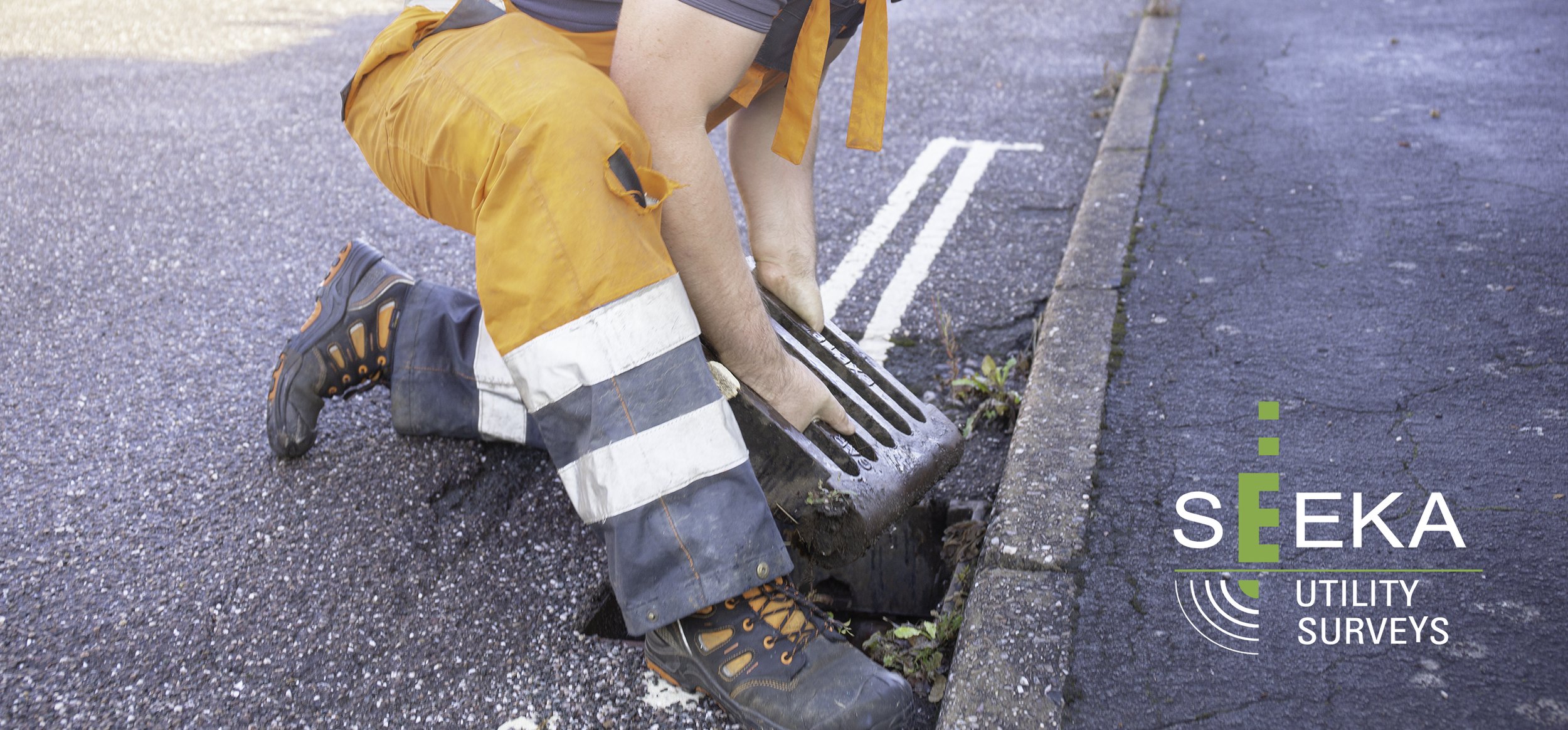
When a condition report is not required, drains are traced at surface by following a sonde that is rodded through the pipe, and which emits a radio frequency that can be detected from above. The lines are marked at the surface and surveyed with GPS and total stations along with manholes, gullies and the like to build a plan of the system. Invert levels, pipe size and type can also be recorded. These surveys can also be employed for S104 adoptions when advised in advance.
For deep and complex tunnel systems, we have confined space surveyors that can enter the chambers with total stations and laser scanners to map the extent of the network. In certain circumstances drones can also be employed to enter such chambers.


